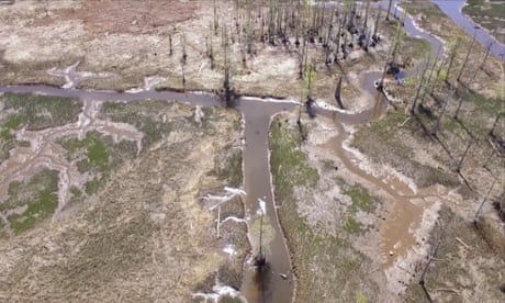
Researchers in North Carolina used underwater sonar to map a system created by enslaved people centuries ago
As a former deputy state underwater archaeologist, Mark Wilde-Ramsing can’t help but look down. While rowing around North Carolina’s Eagles Island, at the tip of the Gullah Geechee corridor, he noticed signs of human-made structures, visible at low tide. Though he’d retired, he was still active in the field and knew his former agency hadn’t recorded the structures – which meant he had come across something previously undocumented. The next step was figuring out exactly what he’d found.
Wilde-Ramsing knew the area had once been full of rice fields. His neighbor, Joni “Osku” Backstrom, was an assistant professor in the department of environmental sciences at the University of North Carolina-Wilmington whose specialty was shallow-water sonar, and he had the skills and technology to explore the area. Using a sonar device, the duo detected 45 wooden structures in the river, and the remote sensing tool allowed Backstrom and Wilde-Ramsing to acoustically map the canal beds.
Continue reading...